| Sea Ice Group at the Geophysical Institute |

|
|

Utqiaġvik (Barrow) Sea Ice Webcam
 |
with generous support from the Arctic Slope Telephone Association Cooperative and the Arctic Slope Regional Corporation |
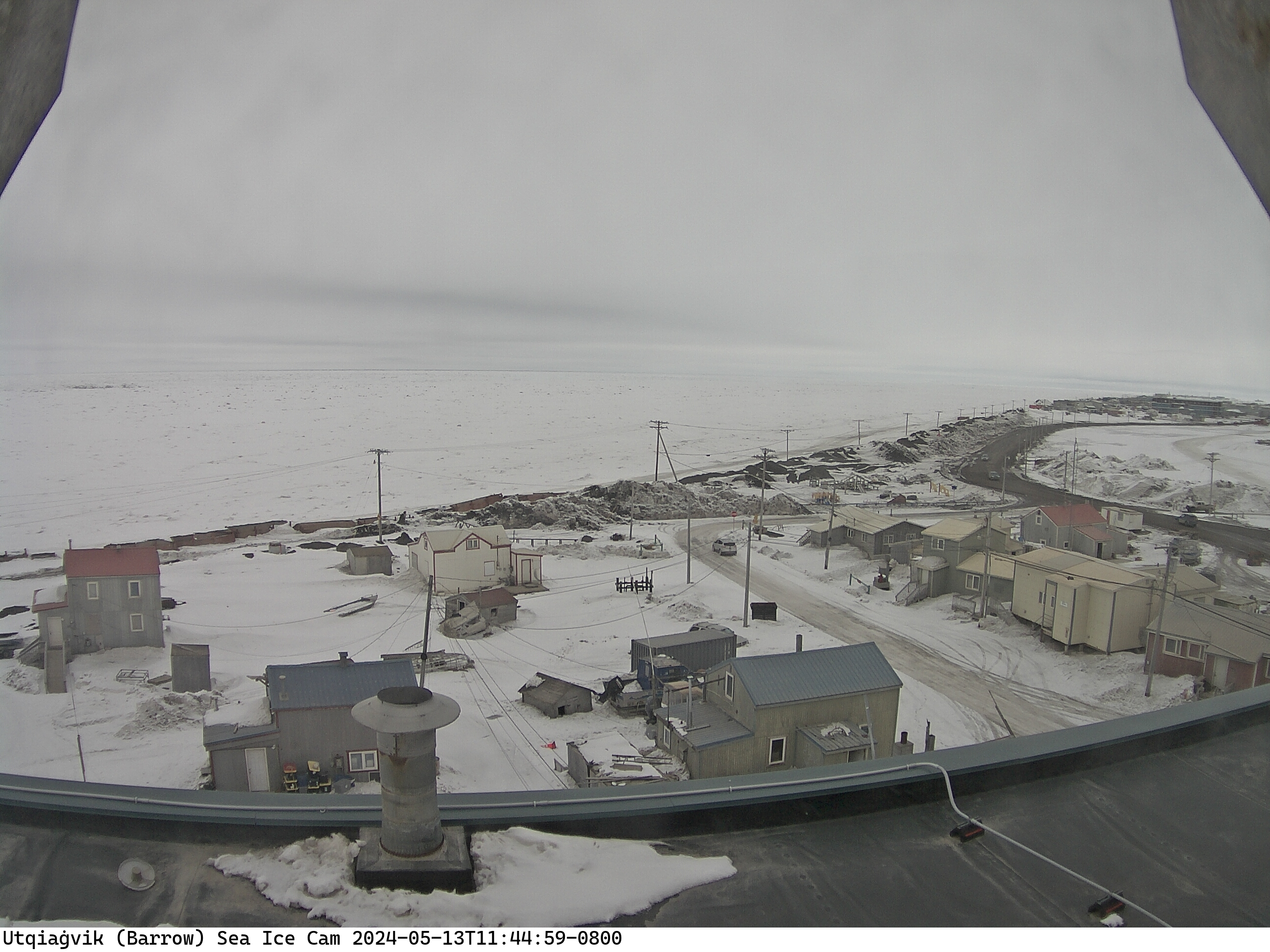
This image has been recorded by a web cam overlooking the landfast ice (or coastal ocean during the ice-free period in summer) from atop the bank building in downtown Barrow, Alaska. The camera is located at 71° 17′ 33″ N, 156° 47′ 18″ approximately 20m above sea level and looks approximately Northward.
Apart from providing a visual impression of the sea-ice conditions off Barrow, these images establish a longer-term record of key dates in the seasonal evolution of the sea-ice cover, such as: onset of fall ice formation, formation of a stable ice cover, onset of spring melt, appearance of melt ponds, beginning of ice break-up in early summer, removal or advection of sea ice during the summer months.
Last 24 hours | Archived data |
|---|---|
|
Download: Quicktime | mp4 |
The radar is back online but the archive may take some time to catchup. Visit our Utqiaġvik (Barrow) sea ice data archive to browse images and animations. |