| Sea Ice Group at the Geophysical Institute |
|
|
Walrus Habitat and Ice Terrain Mapping Using Video Imaging (WHITeMUVI) |
The WHITeMUVI project brings together scientists and engineers with expertise in computer vision, computational science, sea ice geophysics and marine mammal ecology, the overall aim of this project is to develop and implement a readily-deployable video imaging system to routinely map marine mammal habitat in ice covered waters.
Rationale
Unprecedented thinning and retreat of the arctic sea ice cover, together with recent climate modeling studies that predict the Arctic could be free or nearly free of sea ice in summertime within the next few decades, have raised concern for the future of arctic-ice-associated marine mammals. All species of ice-dependent marine mammals of Beringia have been subject to petitions to designate them as threatened or endangered under the Endangered Species Act of 1973. Accordingly, in 2008, the polar bear — whose principal habitat is sea-ice — was listed as threatened. The case for the Pacific walrus is under review with the U.S. Fish and Wildlife Service Endangered Species Program and two ice seal species have been proposed for protective status.
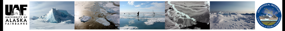
A major challenge facing these national policy decisions is lack of information concerning the extent and distribution of critical habitat within the overall ice pack. In this project we aim to develop new, powerful video imaging and processing techniques and bring them to bear on the problem of identifying and quantifying critical habitat areas within the Arctic ice pack. Bringing together scientists and engineers with expertise in computer vision, computational science, sea ice geophysics and marine mammal ecology, the overall aim of this project is to develop and implement a video imaging system to routinely map marine mammal habitat in ice covered waters. The system utilizes a novel combination of stereo and structure from motion (SfM) techniques to generate true-scale dense reconstructions of 3-dimensional sea ice terrain. These data will be processed by ecology- and geophysics-based algorithms to recognize suitable sea ice habitat for walruses.
Project team
| University of Alaska Fairbanks | University of Delaware | University of Virginia |
| Andy Mahoney (PI) Hajo Eicken (Co-I) Alex Sacco (MS Student) |
Chandra Kambhamettu (PI) Rohith MV (PhD student) Scott Sorensen (MS student) |
Carleton Ray (PI) |
Polar Sea-Ice Topography Reconstruction System (PSITRES)
Details of the development and deployment of the PSITRES camera system can be found at:
https://www.eecis.udel.edu/wiki/vims/index.php/Main/Psitres
This project is supported by National Science Foundation award #1125040, CDI-Type I: Collaborative Research: A Computational Thinking Approach to Mapping Critical Marine Mammal Habitat Through Readily-Deployable Video Systems
 |
|
| |
|